Infrastructure
Dzaleka Mapping Project
Also known as MapMalawi Dzaleka Mapping Project
A MapMalawi initiative that combined drones, OpenStreetMap, field mapping, and community training to document buildings and essential services at Dzaleka.
1 min read
Reviewed
Key facts about Dzaleka Mapping Project
- Lead organisation
- MapMalawi
- Founded
- MapMalawi was founded in December 2020
- Core platforms
- OpenStreetMap, HOT Tasking Manager, drones, and field mapping tools
- Mapped themes
- Buildings, housing, education, health care, water, and sanitation
On this page
Purpose
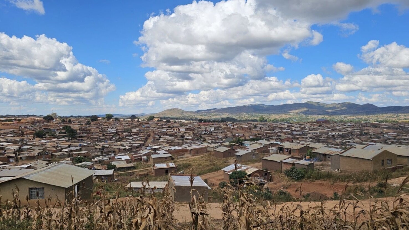
The Dzaleka Mapping Project was MapMalawi’s first project. It aimed to create open geospatial data showing buildings, housing, schools, health facilities, water points, sanitation infrastructure, and other services in a densely populated settlement where existing maps were incomplete.
MapMalawi was founded in December 2020 by Ndapile Mkuwu and Zola Manyungwa, Malawian YouthMappers alumni with experience in drone and geospatial technology.
Methods
The project used authorised drone flights to capture imagery at approximately three centimetres per pixel. Volunteers then used the imagery in the Humanitarian OpenStreetMap Team Tasking Manager to digitise buildings and other features. Field mapping and participatory GIS were planned to verify information that could not be identified from the air.
Training and participation
The project proposal included training university students, women from Dzaleka, and members of Malawi’s OpenStreetMap community. It also planned collaboration with TakenoLAB and local YouthMappers chapters.
Use of the data
MapMalawi reported sharing imagery with UNHCR for decongestion work. The project demonstrates how community mapping can make services and infrastructure more visible, but it also raises ongoing questions about local participation, data maintenance, privacy, and who makes decisions from the resulting maps.
References
Sources
- 1MapMalawi's Dzaleka Mapping Project: OSM Mapping for People Living in Protracted Crisis
Humanitarian OpenStreetMap Team, 18 June 2022
- 2Dzaleka Mapping Community Impact Microgrant proposal
OpenStreetMap Wiki, 2021
Related entries
Place
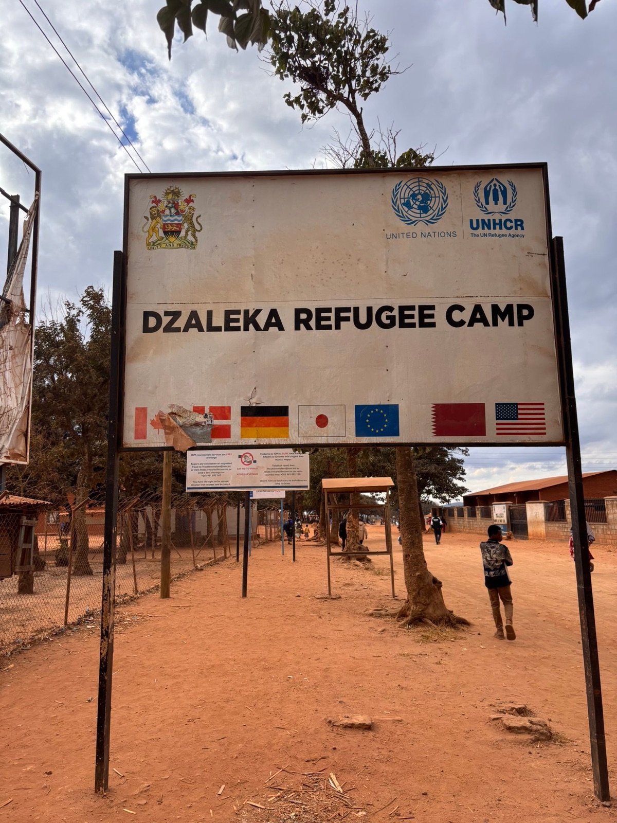
Dzaleka Refugee Camp
A long-established refugee settlement in Dowa District, Malawi, opened in 1994 and now home to a large, multilingual community from the Great Lakes region and the Horn of Africa.
Infrastructure
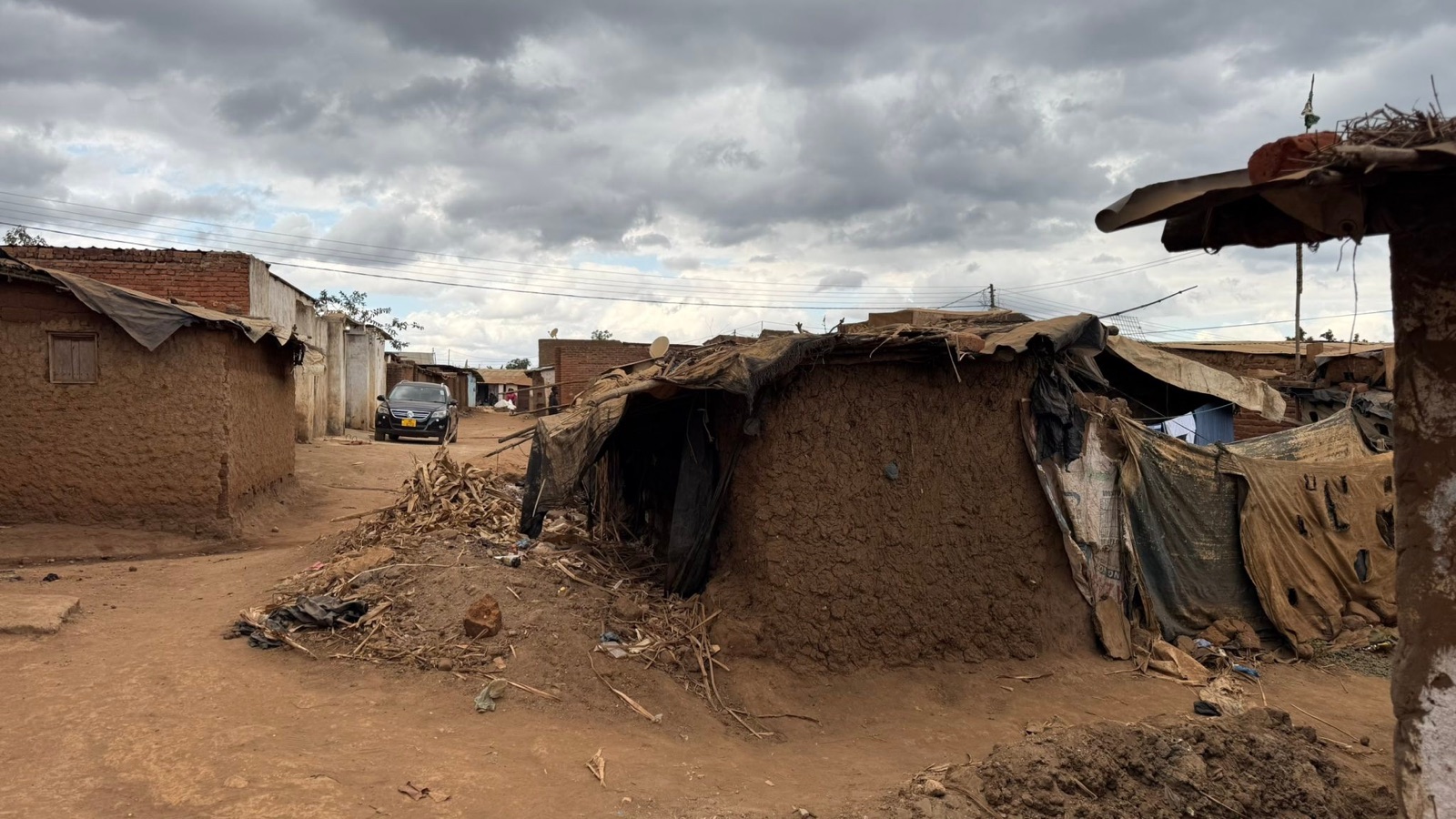
Housing and overcrowding
Housing conditions in a settlement holding more than four times its planned population, where limited land affects shelter, drainage, sanitation, roads, and public space.
Infrastructure
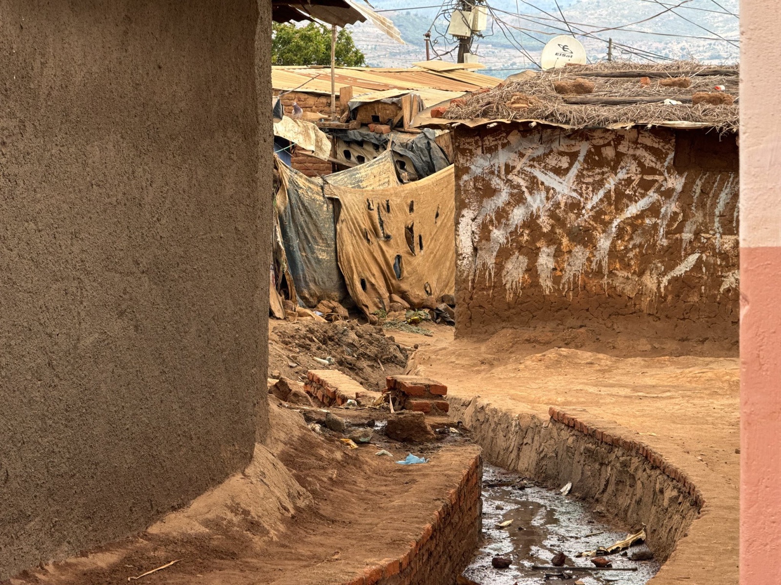
Water and sanitation
A reference entry on water supply, latrines, handwashing, and waste management in Dzaleka, based on UNHCR's August 2024 reporting.
Education
Dzaleka AppFactory
A software-development training programme launched in Dzaleka in 2017 through Microsoft 4Afrika and UNHCR's Connectivity for Refugees initiative.
Help improve this entry
Send a correction, a stronger source, a missing detail, or a photograph. Submissions are reviewed against the encyclopedia's editorial guidance before the public record changes.